Surveys for every requirement!
0333 034 4406
Based in Cheshire and covering all of england we have extensive expertise in a variety of surveys to suite your needs.
Drain Surveys
We offer general Drain CCTV surveys with CAD updates. Ensuring your drains are maintained before problems become costly and ready for any upcoming projects you may have.


Underground Utility Surveys
We only use highly effective jetting techniques to clear silt, debris, sediment, roots, and persistent obstructions, ensuring thorough clearance for optimal drainage performance, with minimal disruption.
Topographical Surveys
A detailed topographical survey reveals the land’s full potential, its constraints, and every other attribute that could influence a decision.

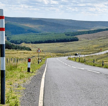
Visibility, Speed and Slay Surveys
A visibility splay survey may be required if your planning application includes proposals to construct a new vehicular access, or there is a need to improve an existing access.
Laser Scanning
Using Laser Scanning instruments the surveyor can rapidly collect a large amount of accurate coordinated three-dimensional 3D laser points from the surface of remote features as a ‘point cloud’ image, providing rapid surveying solutions for inaccessible elements and complex geometrical detail.


Drone Surveys
Aerial services include environmental, conservation and heritage surveys, commercial, industrial and structural inspection, with outputs of photography, photogrammetry and video.
Services
Drain Surveys
Topological Survey
Building Measured Survey
Underground Utility Surveys
Desktop Utility Studies / Searches
Laser Scanning for Point Cloud 3D Data
Visibility Splay & Speed Surveys
Aerial Precision with UAV & Drone Surveys
Request a Call Back
WHERE WE COVER
Crewe, Nantwich, Stoke on Trent, Newcastle Under Lyme, Whitchurch, Market Drayton, Chester, Knutsford, Winsford, Deeside, Liverpool, Flintshire, Stockport, Manchester. Although we are based in Cheshire we will cover nationwide for some of customers.
Some of Our Accreditations